
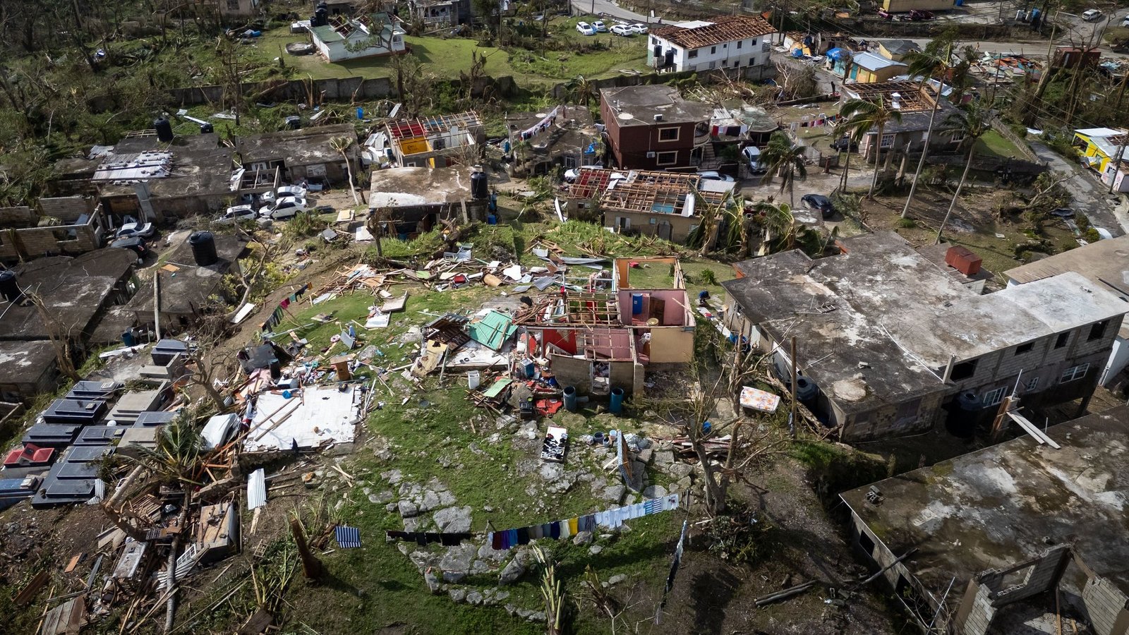
Hurricane Polo, a significant storm situated off the coast of Mexico, has been officially downgraded to a Category 4 storm, according to the US National Hurricane Center. Despite this downgrade, officials have described Polo as “very powerful” and capable of causing considerable impact as it approaches the southwestern coast of Mexico.
This Pacific hurricane, one of the most formidable storms this season, is expected to produce severe winds and heavy rainfall without making direct landfall. A Hurricane Hunter aircraft from the National Oceanic and Atmospheric Administration (NOAA) recently ventured into the storm, measuring sustained winds of approximately 180 mph (285 km/h) with even stronger gusts detected.
Storm’s Characteristics and Potential Impact
Polo is characterized as a slow-moving storm, driven by exceptionally warm ocean waters associated with the ongoing El Niño phenomenon. Initially classified as a Category 5 hurricane, Polo was downgraded to its current status early Wednesday morning. As it drifts northwest, it is anticipated to bring intense rainfall to areas along Mexico’s southwestern coast, raising concerns about potentially hazardous flooding and mudslides, particularly in steep terrains.
Forecasts suggest that some regions could receive rainfall totals reaching 6 inches (15 cm), with isolated areas possibly experiencing up to 8 inches. Authorities have issued warnings regarding dangerous ocean swells and hazardous surf conditions expected over the coming days.
Warnings from Officials
Mexico’s President Claudia Sheinbaum addressed the situation on Tuesday, stating that current assessments indicate Polo will likely not make direct contact with the coastline. However, she emphasized the importance of vigilance for residents along the Pacific coast, particularly in the states of Jalisco, Colima, and Michoacan, which are deemed at risk.
The data collected by the Hurricane Hunter aircraft suggests that Polo may still intensify due to favorable conditions created by very warm ocean temperatures. NOAA has identified the current El Niño as the strongest recorded to date, with sea surface temperatures in a vital region of the central-eastern Pacific noted to be 3.05°C above the average as of September 19, surpassing the previous record set during the significant El Niño of 2015.
Understanding El Niño’s Influence
The El Niño phenomenon, occurring naturally every two to seven years and lasting about a year, can alter trade winds across the Pacific. When these winds weaken or reverse, warm water spreads eastward, releasing heat into the atmosphere and impacting global weather patterns.
This alteration can lead to increased storm energy, resulting in higher wind speeds and greater storm severity. As scientists continue to monitor ocean temperatures, they anticipate that some longer-term indicators of El Niño may soon reach record levels, with the phenomenon expected to peak later this year.